Posted May 3, 2024 in News
Vegetation Survey 2024
This year we were lucky to be chosen as a site for a vegetation survey from the Department of Agriculture.
Usually this would cost a huge amount of money to have this completed on a Reserve but the Department of Agriculture helps to support reserves and farms to measure, understand and encourage their vegetation growth.
This tool is vital for reserves or farm managers to manage their bio-diversity conservation and environmental monitoring.
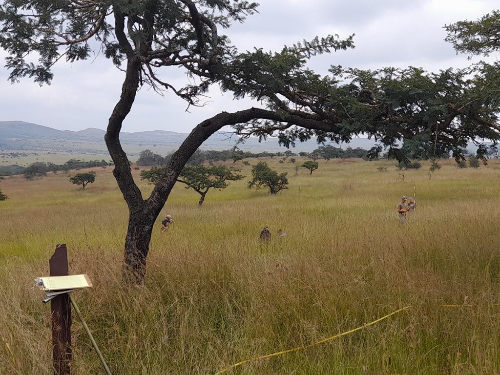
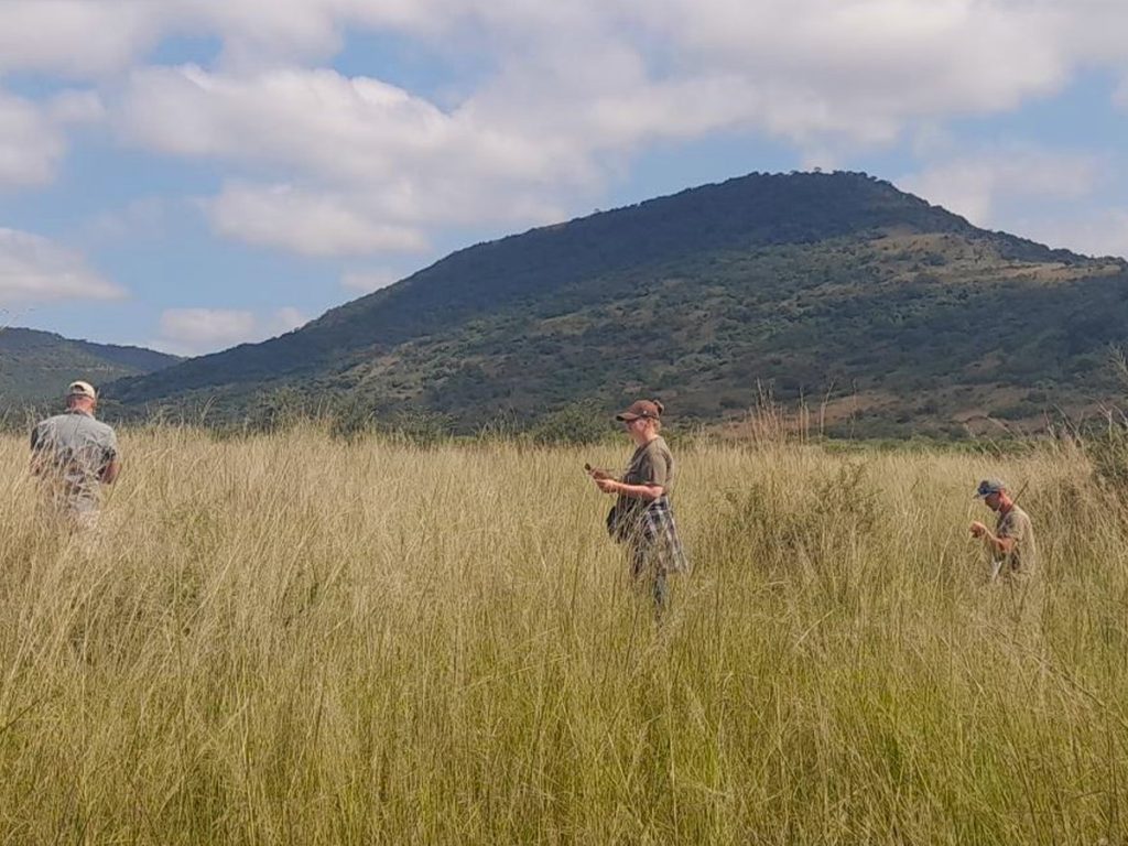
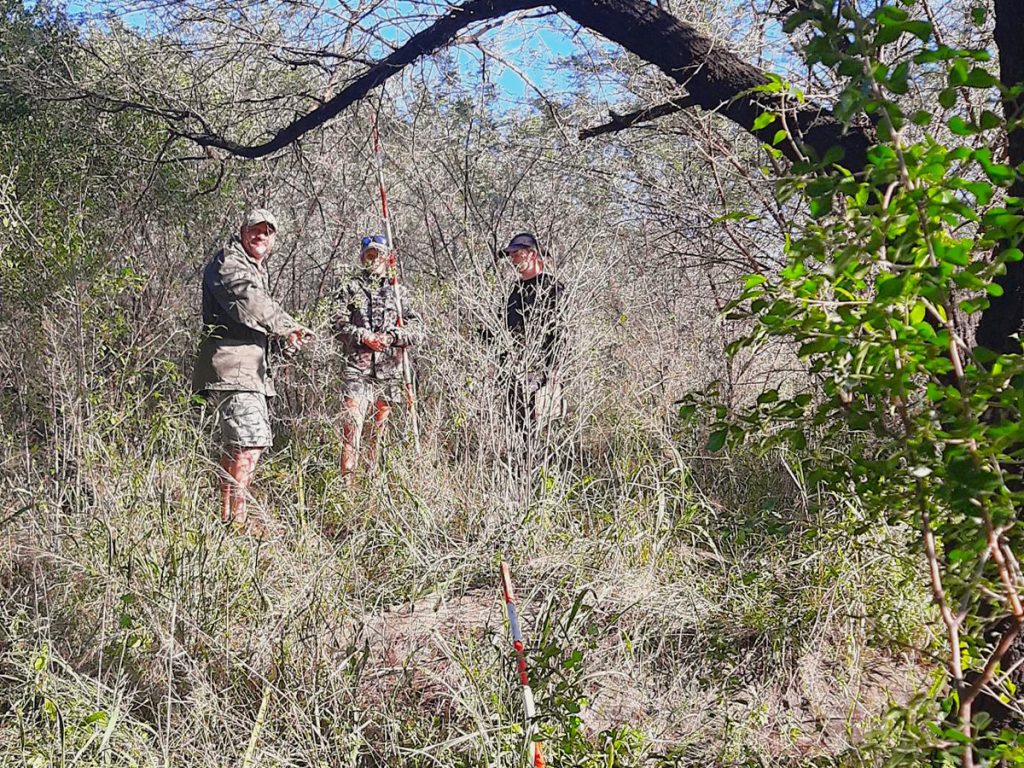
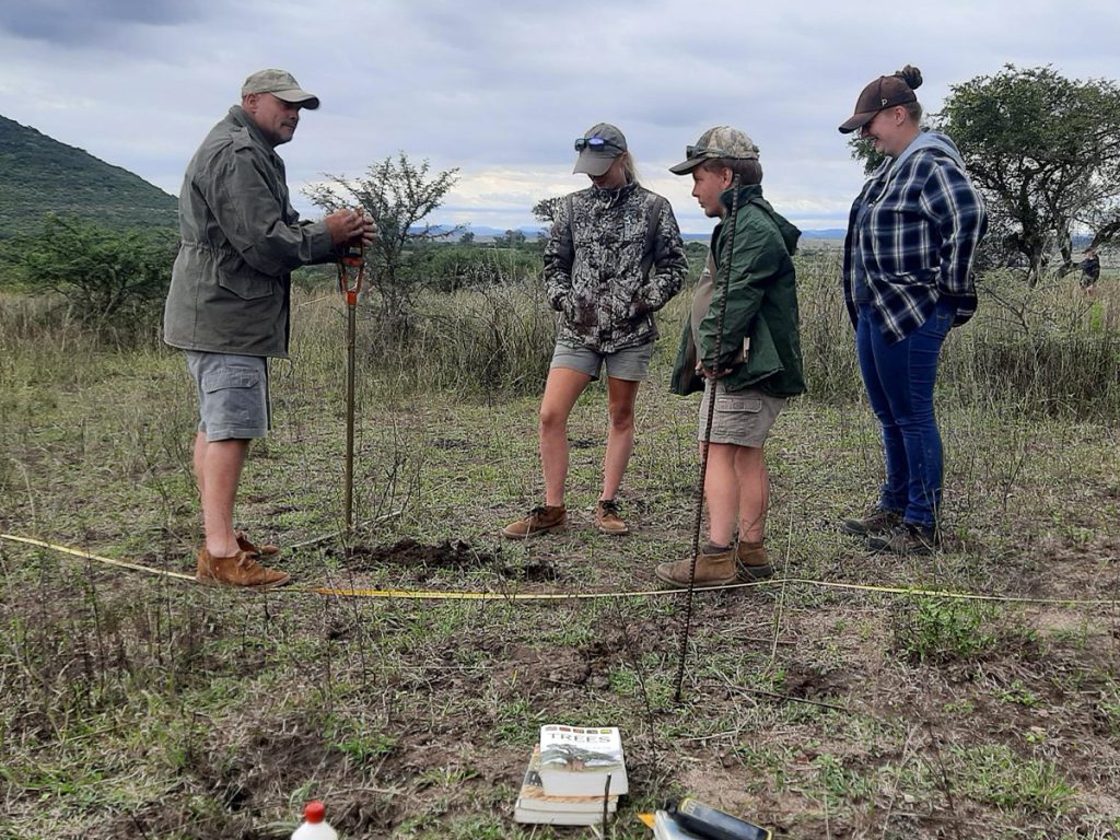
We did 22 sites across the Reserve, including grassland, open and closed woodland and thickets. We measured out a 25m x 25m box and within this box we measured all grasses and trees as well as taking a soil sample from each site.
The soil sample tells the history of the site and what bedrock it sits on and whether it is a good soil for growing grasses etc. We then measured the depth of the grass for 100 points which gave us an idea of whether to burn or not. The next stage was measuring all the trees in the ‘box’ and the amount of browse material available. And finally, the grasses, doing 100 sites in the ‘box’ we measured the distance between each tuft of grass and also had to identify each grass species.
Grass has different grazing values for animals between high and low and therefore this is a key part in calculating the number of animals we can have on the Reserve, called ‘carrying capacity’.
A big thanks to Cobus for his time, expertise, professionalism and absolutely outstanding knowledge in guiding us through the first vegetation survey with the Department of Agriculture. This process is repeated every 3 years to assess improvements or deterioration in our vegetation.
